Description
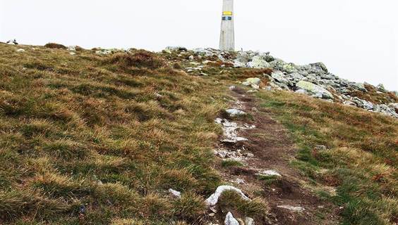
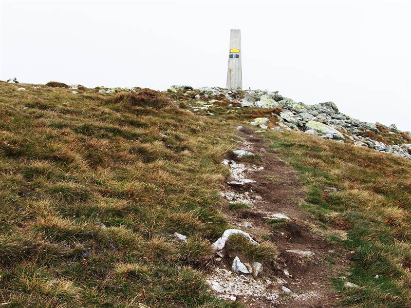
The distinctive dominant feature of beautiful Liptov is certainly the Baranec hill, often referred to as the "Liptov Shield". It is the third highest peak of the Western Tatras and offers excellent tourism throughout the year.
At the ascent, it is necessary to take into account the demanding alpine hike, which is characterized by a steep climb to altitude of 2184 m above sea level. The ascent is accompanied by beautiful natural sceneries and hills covered with scrub, which is gradually turning into alpine meadows.
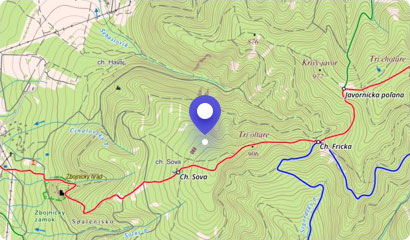
You can start the hike on the paid parking lot at the mouth of the Žiarska Valley, from where you will follow the yellow trail to the Holý vrch crossroads, from which you will have wonderful views of the whole Liptov.
Climbing the summit lasts about 3 hours 45 minutes, and even during the hot summer days, get ready for cold and windy weather at these altitudes. However, beautiful views and peaks of the surrounding mountains, which touch the clouds, will warm you by the heart.
In addition to the rare alpine flora, the local slopes are also very popular with marmots and chamois, which you can see in addition to incredible views.
You can descend down to Žiarska saddle and further down a little more descending down the green and blue marked trail to Žiarska Valley to Žiarska cottage, where you can refresh yourself or even spend the night.
You may need some: accommodation Žiar (district Liptovský Mikuláš)Map
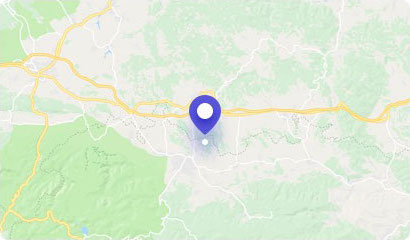
Tourist map (GPS 49.17362, 19.74097)
Google maps (Navigation)
Comments [0]
There are no comments. You can add comment or upload photos of this attraction.
Accommodation
Nearby things to do at Baranec - 2184 m asl
2.1 km
Šarafiový Waterfall
Waterfalls
One of the great attractions of Liptov nature in Žiarska Valley is definitely a beautiful Šarafiový Waterfall, which as a glittering white ribbon winds between the rocks ...
Žiar
2.1 km
Holý Hill - 1723 m asl
Hiking
The Holý Hill (The Bare Hill) is a less distinctive peak of the Western Tatras. Many tourists may not heard about as it is less known hills among others in this location,...
Liptovský Mikuláš - Okoličné
2.6 km
Plačlivé - 2125 m asl
Hiking
Between the hills of Baníkov and the Ostrý Roháč, there is the hill of Plačlivé, often called "Plačlivô". It is a less known hill belonging to the central ridge of the We...
Žiar
3.2 km
Gross Hill - 2166 m asl
Hiking
The popular Western Tatras have something to offer for recreational and demanding tourists, explorers and rock climbers. Hrubá kopa (Gross Hill) is a frequently visited t...
Žiar
3.5 km
Baníkov
Hiking
Baníkov (Polish: Banówka) is the highest peak of the Western Tatras. Its peak reaches a height of up to 2178 m above sea level. It is situated above Žiarska, Roháčska, Bo...
Zuberec
3.6 km
Roháče Mountain Lakes
Hiking
Wandering around Roháče hills is an indescribable experience for many nature and tourism enthusiasts. It is a beautiful location with excellent access, which welcomes wit...
Habovka
3.9 km
Jamnické mountain lakes
Hiking
Very nice and frequently visited mountain lakes of western part of Tatras include Jamnické lakes. They are located in the beautiful surroundings of the highest part of th...
Žiar
3.9 km
Bear's Tunnel
Technical monuments
Žiarska Valley in the Western Tatras is one of the most visited valleys in Liptov. You can admire and discover not only the creations of nature, but also creations of hum...
Žiar