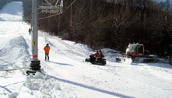
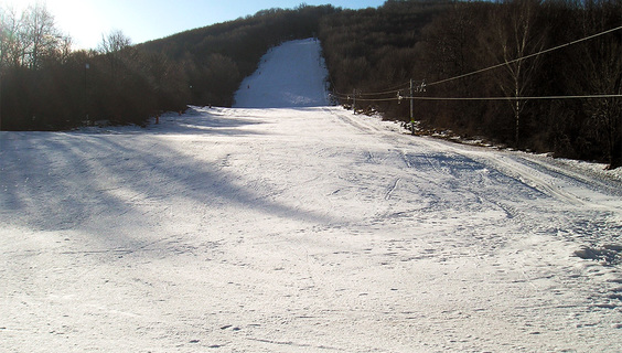
Ski resort of Cigeľ Priedavky-Šabľová lies above the village of Cigeľ, about 7 km south of Prievidza.
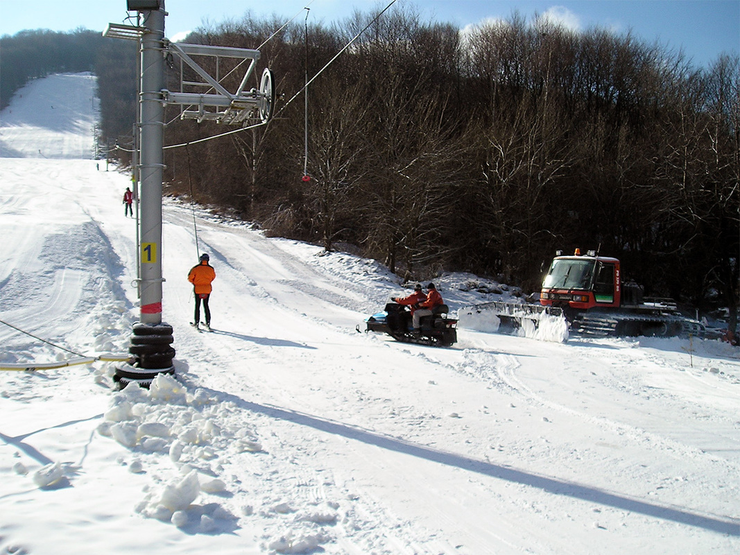
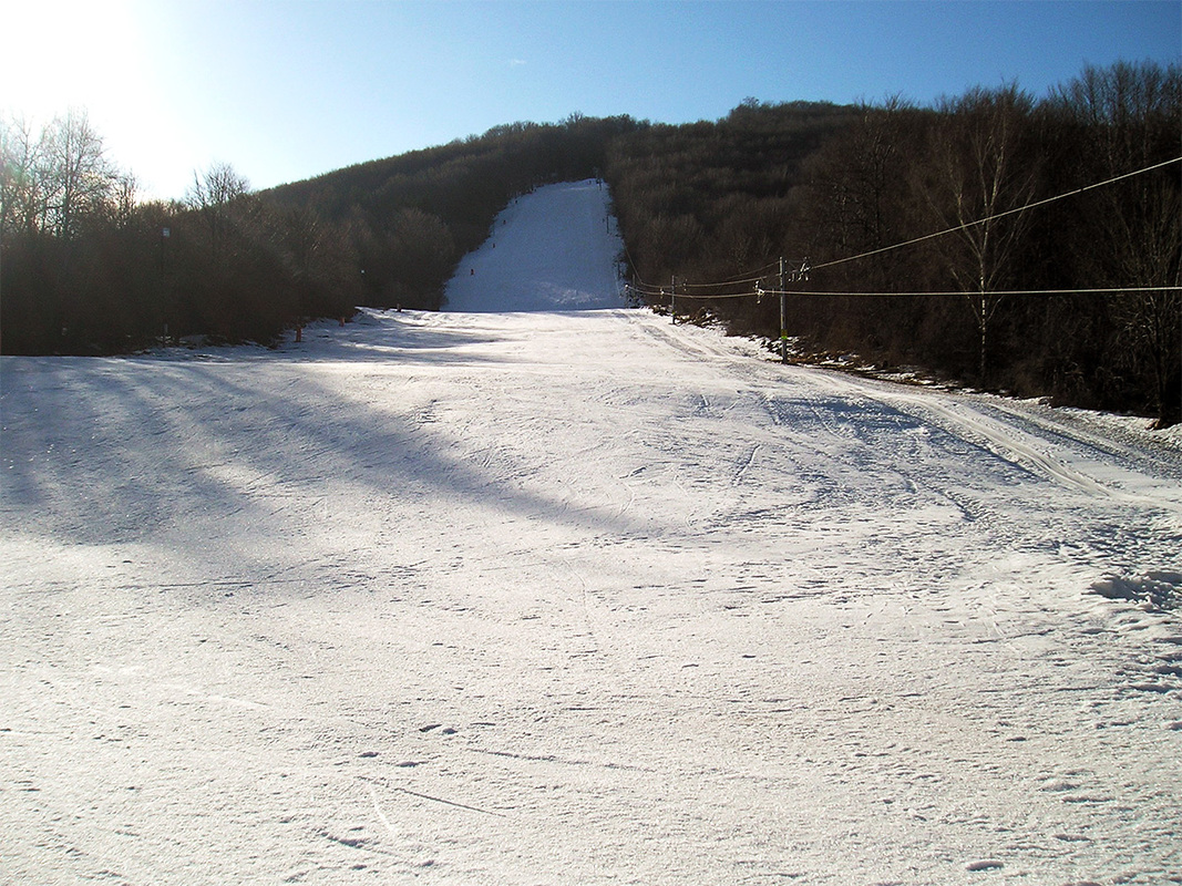
The groomed slope in the resort is served by one ski lift and you will find tracks of every difficulty.
It is a smaller resort, which is especially popular with locals. Ski Resort of Cígeľ Priedavky is popular not only among downhill skiers, but also among cross-country skiers. In the vicinity of the resort, you will find cross-country trails divided into large and small circuits.
The ski slope is technically snow-covered and the ski resort also offers night skiing with a illuminated track of 800 meters.
After good skiing, head to the buffet to get rid of hunger or thirst. There is also a spacious parking lot with lot of spaces in front of the complex.
The resort is also used by schools for ski courses under the guidance of experienced instructors.
You may need some: accommodation district Prievidza
On the andesite hummock towering above the village of Podhradie, there are ruins of a medieval castle called Sivý Kameň (ie Grey Rock). The castle was built in the first ...
The impressive peak called Biely kameň (White Stone) is located in the northeastern part of the volcanic mountain range Vtáčnik. It is a location where no tourist marked ...
The tourist attractions of the region of Upper Nitra undoubtedly include the Upper Nitra mining museum (open-air), which is operated in the Cigeľ Mine. It offers visitors...
The mountain range of volcanic origin, Vtáčnik, is rich in many popular tourist sites. However, it also has plenty of corners, which are not so much explored by tourists,...
Veľký Grič is an inherent landscape dominant near the town of Handlová. This volcanic hill belongs to the popular mountain range of Vtáčnik. The impressive Veľký Gríč is ...
The spectacular volcanic mountain range of Vtáčnik offers a varied tangle of hiking trails that will take you to the most amazing forest coves, observation points and roc...
The landscape scenery of the town of Handlová is dominated by the distinctive, partly rocky peak of Malý Grič, which is part of the Vtáčnik mountain range. As well as oth...
Who has got a heart beating for technique from the time of our old fathers in the chest Discover beautiful exhibits and technical gems in the private Moto Museum. Let you...