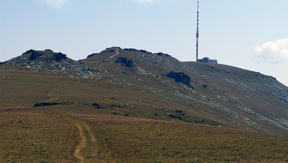

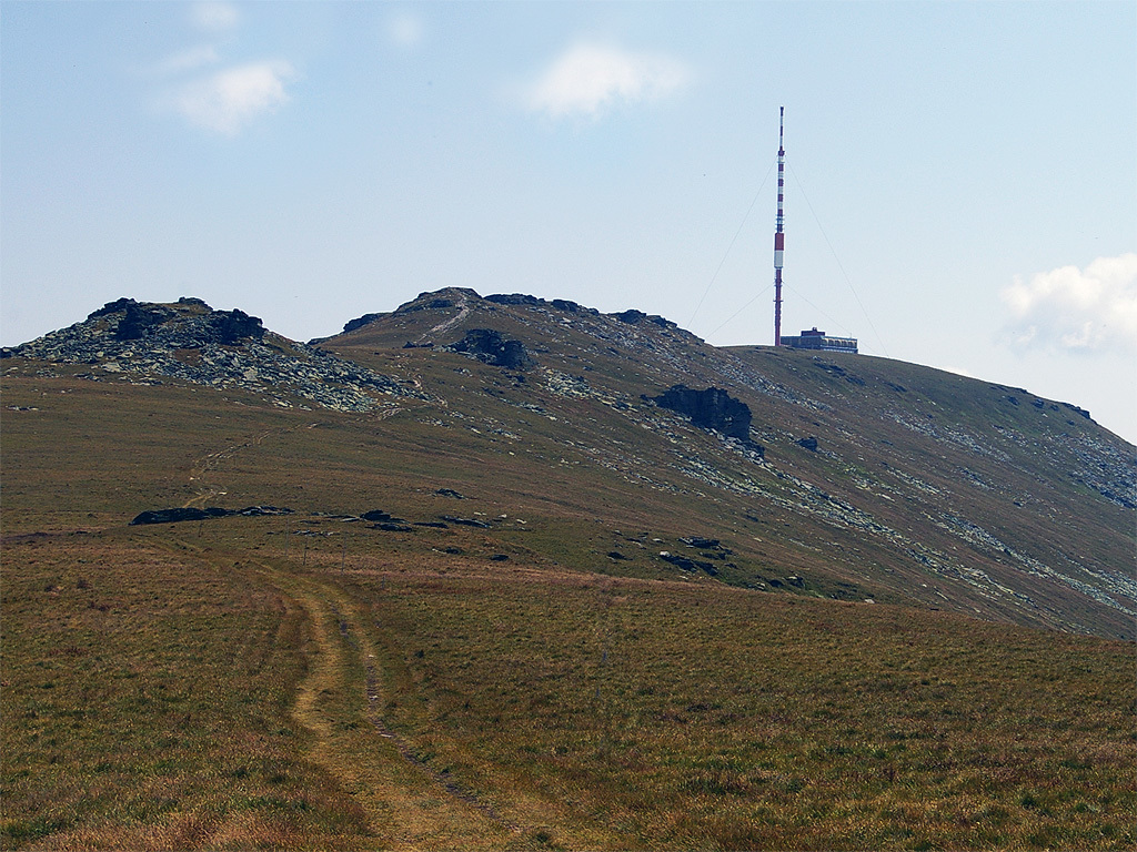
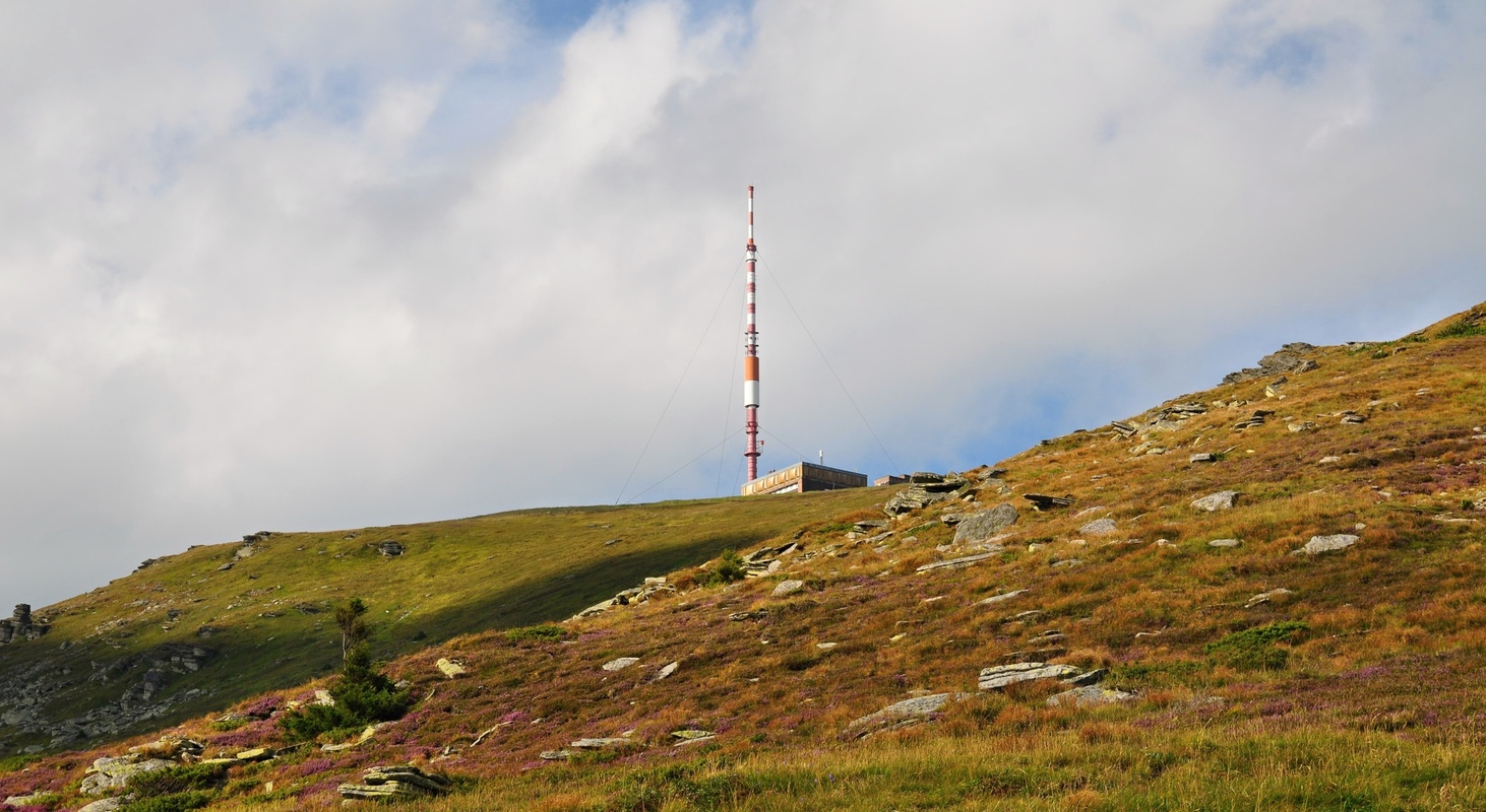
Kráľova hoľa (King's Hill) - a hill emblazoned with legends, rumors or a fountain of Slovak songs and poems. One could also say that Kráľova hoľa is one of the Slovak national hills. With its height of 1946 meters, it dominates the eastern part of the Low Tatras and deserves to be one of the most visited peaks in this locality.
Kráľova hoľa is full of unique beauty and variety of nature, but it also hides a wealth in the form of caves under the Earth's surface. According to legend, the name of the Kráľova Hoľa was obtained from the Hungarian king Matthias Corvinus, who hunted in the local forests and dined at the very top of the hill.
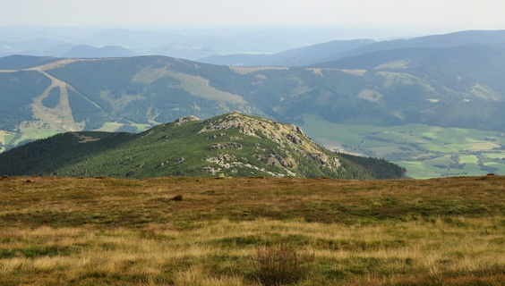
Not only Corvinus was enchanted by the hill, but many others too. And it is no wonder about it. Its top provides an extensive circular view of a large part of Slovakia, which will captivate you. Kráľova hoľa is also the place where the largest Slovak rivers - Váh (Black Váh), Hron, Hornád and Hnilec spring.
Several marked hiking trails from the surrounding villages lead to the top. The easiest route leads from the village of Šumiac along the green marked hiking trail approx. 6km (2.5 hours) or also along the old asphalt road, which cyclists will certainly appreciate .
And for those more persistent and able-bodied, Kráľova hoľa represents an excellent starting point for conquering the impressive ridge tours of the Low Tatras.
You may need some: accommodation Šumiac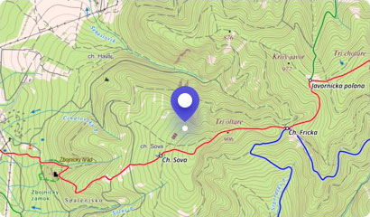
If you want to see the valleys of Horehronie and Heľpa from the heights and enjoy excellent tourism, you should consider climbing to the Orlová Hill. This almost two thou...
Educational trails allow visitors to get to know the beauty and natural value of the area without a guide and professional interpretation. One of them is an Educational t...
The characteristic feature of the village of Telgárt is not only a charming alpine nature, but also a unique object called the Chmaroš Viaduct. It is a stone railway brid...
On the stream of the Kopanica stream, in the village of Pohorelá, nature created a beautiful waterfall called "Waterfall below Orlová". Its water veil falls from a height...
Telgárt Ski Center is located near the village of Telgárt in the Upper Pohronie region, in the valley between the Low Tatras, the Slovak Paradise and the Slovak Ore Mount...
The River Hron is the second longest Slovak river, and therefore deserves due attention. Hron measures 298 kilometers, flows only through Slovakia and flows into the Danu...
Slovak Paradise is a place full of enchanting karst ravines, caves or waterfalls. But there are also beautiful hills and sightseeing places too.
One of them is the highe...
The tiny mountain settlement of Pohorelská Maša, situated in the Hron Valley, is bordered by the Gindura Hill from the south. The hill was once known as a ski resort, but...