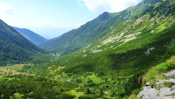
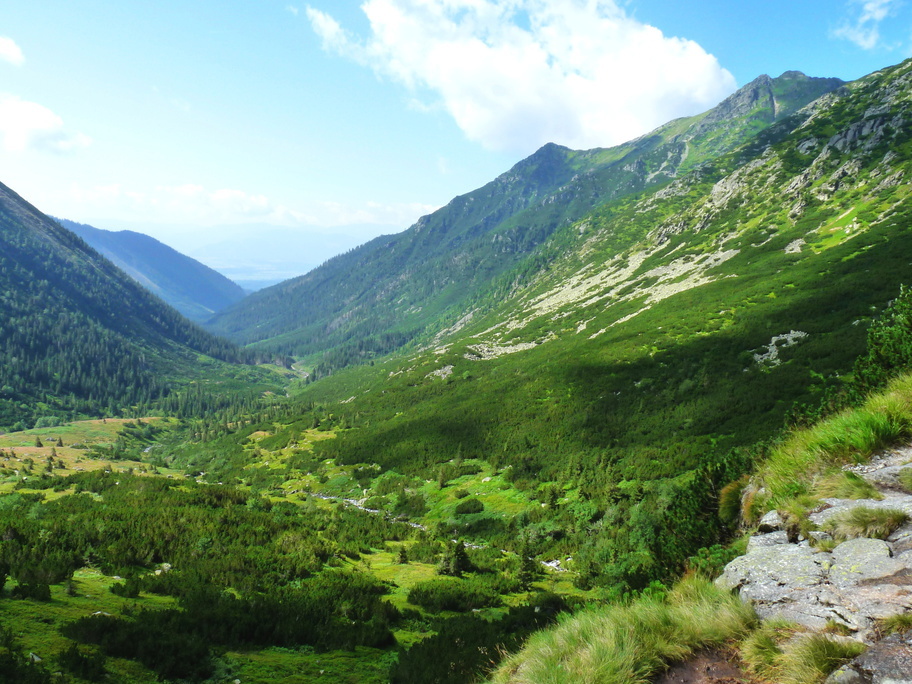
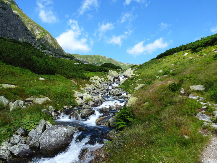
Račkova Valley is a well-known locality of the Western Tatras for tourists, and therefore it is also frequently visited in every season. It has a length of more than 5 kilometers and its beginning lies at an altitude of 960 meters above sea level.
The lower part of the valley is surrounded by spruce forest due to its low altitude. The upper part of the valley, also called Račkov Back, is significantly shorter, steeper and surrounded by grass and dwarf trees.
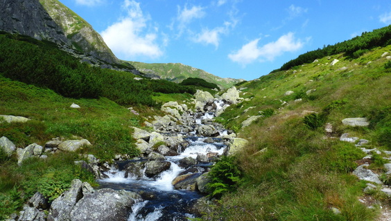
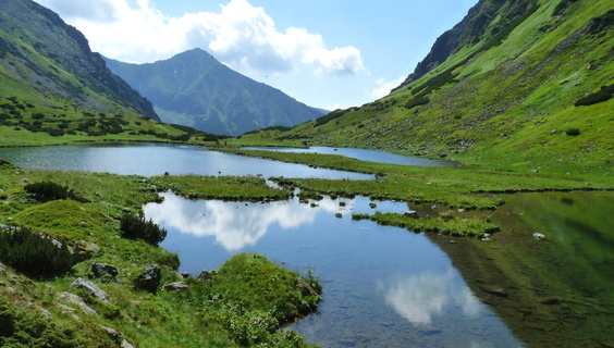
At the end of the valley, in the embrace of the Tatra peaks, there are Račkove Mountain Lakes. Their number also depends on the amount of water, but usually there are two - Nižné and Vyšné (Lower and Higher). In the spring, their shores abound with beautiful flowers and green grass.
However, a jewel of the Račkova Valley for all mountain hiking enthusiasts is the peak of 2173 meters above sea level called Klin. The summit itself is rugged, so it offers hiking where you will not only get sweaty but you will also see a number of enchanting panoramic views of the entire region.
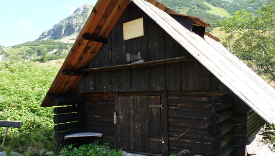
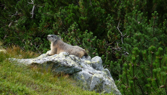
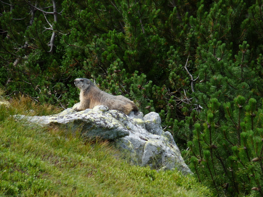
The hike below this peak, across the Račkova Valley, is undemanding and very relaxing. You can also see many interesting plants and animals during it. And if you are very cautious, there is no problem to blunder on the marmot.
You may need some: accommodation Pribylina
Jakubina Hill could be peacefully named for a guardian of the Western Tatras. It is a distinctive pyramid hill, which is the second highest peak of the Western Tatras aft...
The massive, rocky hill of Klin with its typical pyramid shape is the type of hill you see from a distance. Its pointed peak and wide slopes will encourage you to make an...
Račkovo Saddle is another of a series of large and grassy mountain saddles in the main ridge of the Western Tatras. It is situated on the Slovak - Polish border near the ...
Bystrá Hill is due to its beauty, diversity, but also the altitude considered the Queen of West Tatras. This spectacular two-thousander rises above the Račková, Bystrá an...
Very nice and frequently visited mountain lakes of western part of Tatras include Jamnické lakes. They are located in the beautiful surroundings of the highest part of th...
In the Western Tatras, where the Slovak-Polish border meets, lies the sprawling Pyšné sedlo (Proud Saddle). This alpine saddle is characterized by the fact that it is one...
Volovec Hill is a charming two thousander, which will not leave any tourists cool. Its vast slopes copy the Slovak - Polish border and for many, it is a popular stopover ...
Between the hills of Baníkov and the Ostrý Roháč, there is the hill of Plačlivé, often called "Plačlivô". It is a less known hill belonging to the central ridge of the We...