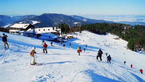
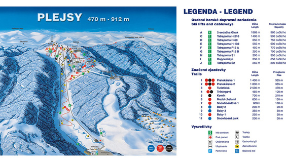
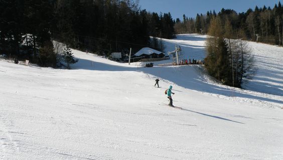
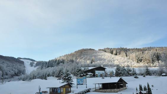
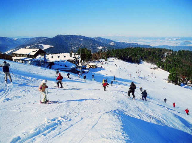
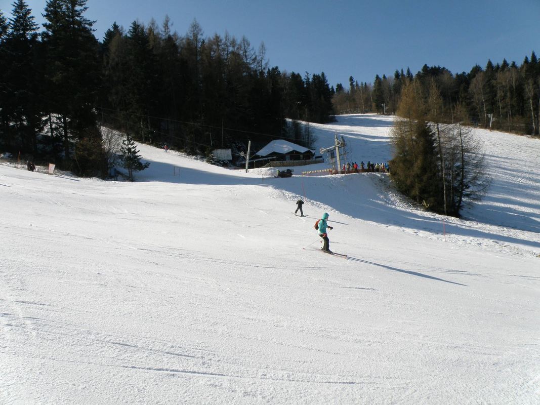
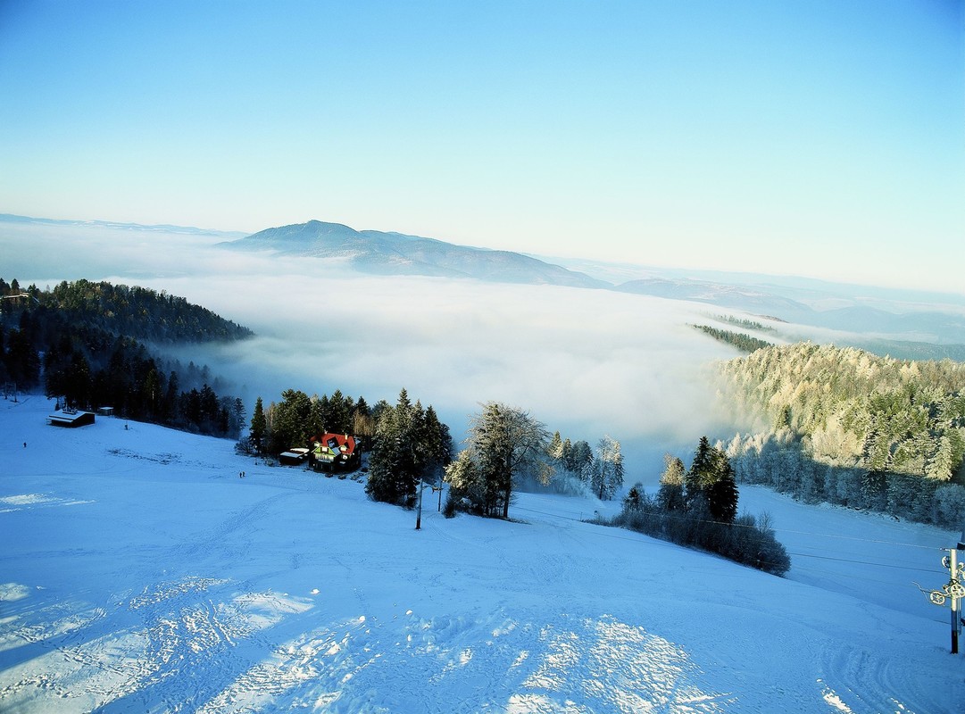
The ski resort area is situated on the northern slopes of Krompachy Hill. Visitors to the resort have 9 slopes of varying degrees of difficulty available. They are serviced by 8 lifts and one 2-seater.
All ski slopes are artificially snowed and the center has been the venue of the European Skiing Cup. Cross-country skiers will appreciate 11 km of cross-country trails in the area.
A matter of course are ski facilities such as ski equipment rental, ski school and ski service.
You may need some: accommodation Krompachy
In Volovske Hills, there is a popular hiking place called Biela skala (White Rock). The sought-after hill is characterized by its limestone boulder walls falling into the...
Turzovské Lake is incorporated into a beautiful foothill environment, with which creates a perfect harmonic interplay. It is located just outside the town of Gelnica and ...
Above the old mining village of Kluknava rises the majestic Green Point lookout tower. With a height of 35 meters, it acts as a dominant feature of the entire area and of...
A charming architectural building in the historic center of Gelnica is the Old Town Hall with its majestic Baroque tower, which now houses the Mining Museum of Gelnica. T...
Above the old mining town of Gelnica, which is mentioned as a free royal town already in 1276, on the site of an old castle from the 13th century, we can now see only the...
Sľubica is the third highest peak of Branisko. It is very popular among tourists especially in the winter season and therefore it is not surprising that there is an “Wint...
Not far from the three East Slovak villages - Margecany, Kluknava and Klenov - there is the Roháčka Hill, also called Talafús Hill. It is one of those hills that will not...
The western part of the Branisko mountain range is filled with the Rajtopíky Hill, which is part of the nature reserve with the same name. It is quite an unidentified pla...