


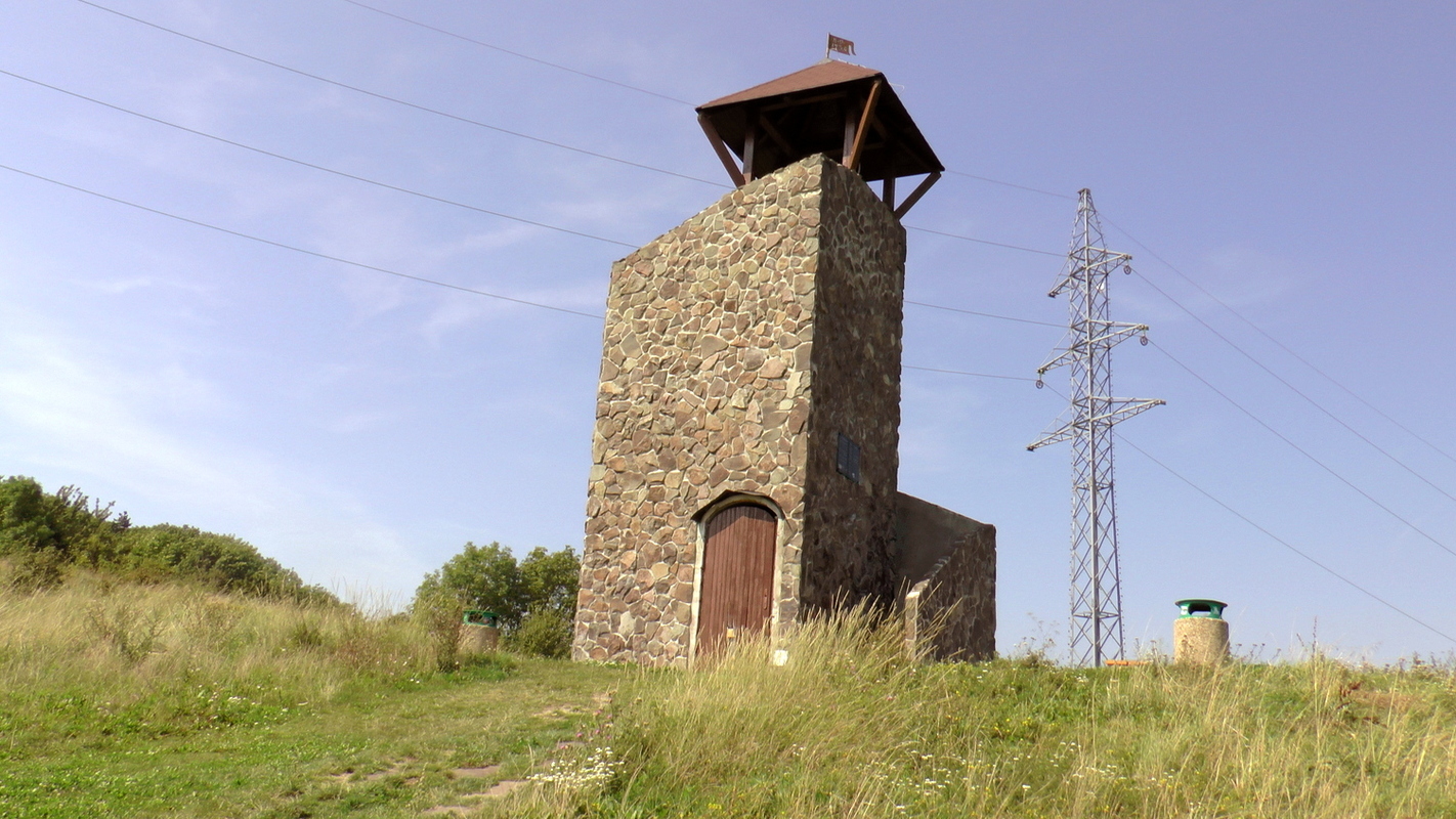
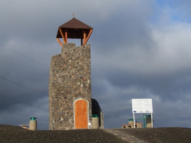
The village of Záhorská Cerová stands out for its somewhat unconventional observation tower. The lookout tower is not high and does not stand at high altitude, but it will impress you with its unique building. Built of concrete blocks and lined with natural stone, it reminds of a watch tower.
The top floor, which is covered by a small canopy, offers a glamorous view of the northern part of Záhorská nížina and the hill of Záruba. With good visibility, you can see a nice view of hills like Zobor, Tríbeč, Považský Inovec, and the town of Hlohovec to the east, and the Barrow of Milan Rastislav Štefánik on the hill Bradlo, White Carpathians, or Great Javorina rising in the north.
In the area of lookout tower, there is a table and a few benches, where every visitor can relax and have a rest. Four wind plants are somewhat farther. The surroundings are rich in tourism, but also historical monuments - ruins of the Korlátko castle, or recreation - area of Sokol huts.
There are several ways to get to the lookout tower. Those who like comfort can park their car directly in the parking lot near the lookout tower. For lovers of walking and hiking, but also for families with children, we recommend unpretentious jaunt from the village Cerová - part Rozbehy along the marked hiking trail. More active tourists can reach the lookout point by following marked tourist routes from the surrounding villages (approx. 5 km) - from Jablonica, Prievaly or Bukova.
You may need some: accommodation district Senica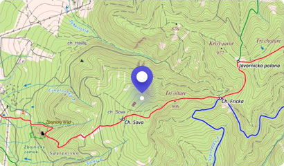

Korlátka is a ruin of a castle from the 13th century. Its task was to protect the western borders of Hungary and guard the so-called Czech Route (Via Bohemica). This trad...
Buková is a water reservoir in western Slovakia on the Hrudka stream. It is located in Bukovská Valley near the village of Buková in the middle of the Little Carpathians....
The highest peak of the Little Carpathians mountain range is Záruby, which in its full beauty rises to a height of 768 m above sea level near Smolenice. The hill is also ...
The eastern edge of the Záruby ridge in the Little Carpathians is bounded by the rocky Havrania skala (Raven Rock). The boulder is especially popular among climbers, but ...
The village of Buková is bordered by a steep hills of Záruby, where the ruins of the Ostrý Kameň castle (ie Sharp Rock Castle) have been preserved up to nowadays, rising ...
The picturesque village of Smolenice attracts many tourists to visit a fairy tale castle or a mysterious and charming Drina cave. However, it can also offer extensive for...
The Hlboča Valley near Smolenice is something like a small Slovak Paradise. Many people do not even know that the Smolenice karst is full of similar beauty as the gorges ...
Not far from Smolenice, in the Hlbočianska Valley, natural elements created the Hlbočiansky waterfall. It is the only waterfall in the Little Carpathians that you can vis...